
I love OpenFreeMap it is a quick, easy, and free way to add beautiful maps to your Open Source projects. With the latest release of MapLibre-GL I wanted to see if there was an easy way to use both to make an interactive globe with clustered markers. Spoiler alert: yes! Basic Globe Here's a basic example which I've trimmed down from this example. When you load the below code, you'll get a…
Continue reading →
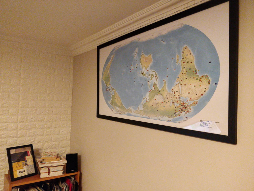
I'm delighted to announce that I've actually finished a project! Over the last few years, I've been designing a custom map. As per the credo of the "Organization of Cartographers for Social Equality", this map uses the Equal Earth projection to ensure proportional land-mass size, the South is at the up, and - of course - the globe has been rotated to 150°. I've had it printed and I think it …
Continue reading →
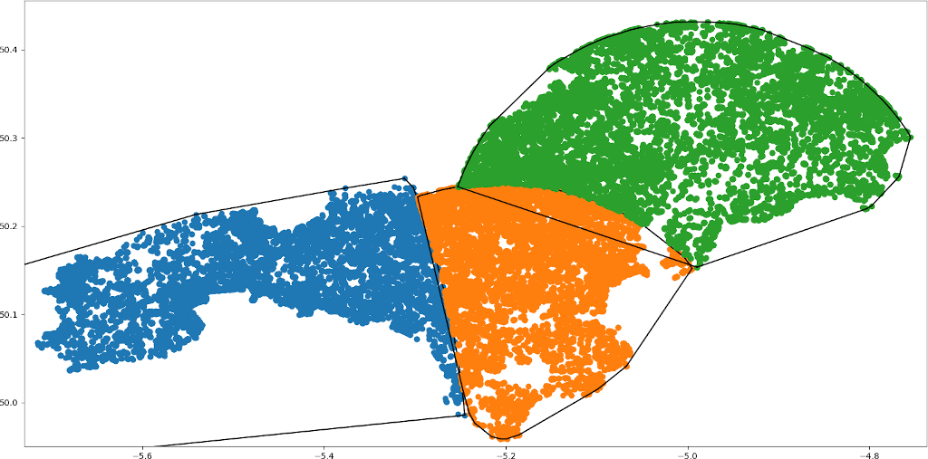
How do you fairly split a country into electoral subdivisions? This is a difficult problem. Whatever you choose, you'll piss off someone. A politician will be annoyed that their loyal voters are no longer in their district. And voters will be annoyed that they're now lumped in with people from the wrong side of the tracks. This is a very human problem. So let's ignore all the human aspects and…
Continue reading →
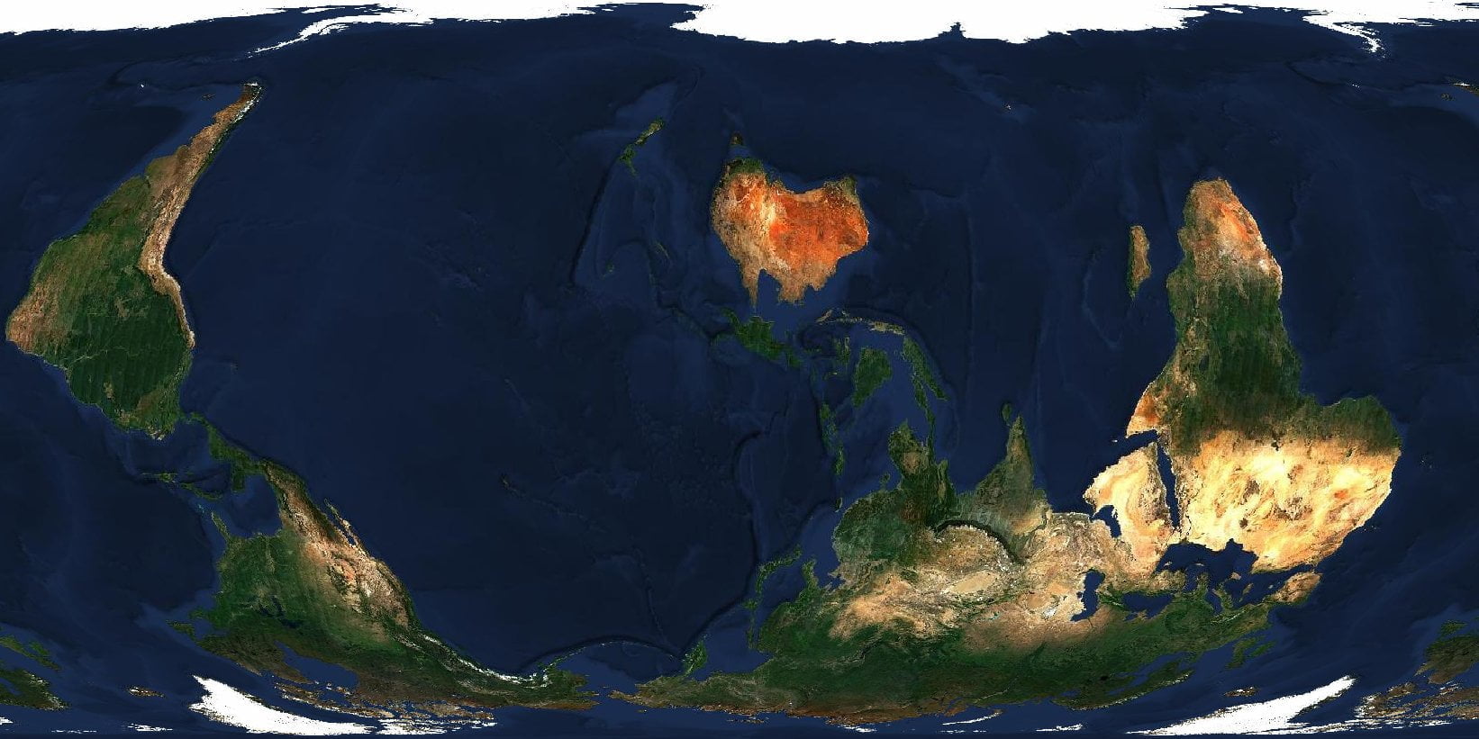
Regular readers know, I'm Creating an "Organization of Cartographers for Social Equality" map. I've already had some success using an existing NZ Centric, Equal Earth Map. And I've programmatically created a correctly projected map with R. But is it possible to do this with Satellite imagery? YES! Install gdal For this to work, you'll need GDAL - the Geospatial Data Abstraction Library.…
Continue reading →

Force Directed Graphs of the London Underground have been done many times before - but I think I'm the first person to add the new Elizabeth Line (CrossRail). I've also created a JSON graph of all of London's rail services - including DLR, Trams, C2C, ThamesLink etc. Demo Play with it yourself Grab the code from GitLab I've also created a version with every London station and train line. …
Continue reading →