Looking at the main page you can seem to get the properties in json form on each image.
https://map-view.nls.uk/iiif/2/10331%2F103313042/info.json
Seems to the maximum area allowed per tile is 270,000 which is why you got the weird 617 number.
It also shows the width/height of each image.
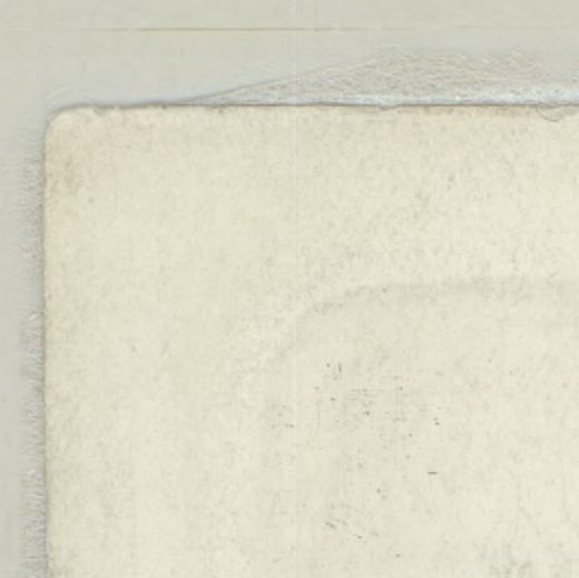
So using your information and that the very top left corner of that image is this:
https://map-view.nls.uk/iiif/2/10331%2F103313042/0,0,520,519/full/0/default.jpg
but I assume its probably easier to render it all line by line rather than scan across and then go down..
https://map-view.nls.uk/iiif/2/10331%2F103313042/0,0,16432,16/full/0/default.jpg
That is the top 16 px of the entire image (~263k pixels), which makes it a bit easier to merge as it's just one direction. But of course each image is different in size. One of those other images is much smaller scan and you can get about 36px per line