(Yes, I'm back on my bullshit!)
Regular readers may remember that I'm trying to create an "Organization of Cartographers for Social Equality" map. That is, a map with a Gall-Peters Projection and with South up. Oh, and Aoteroa centred. For reasons.
I've got one step closer! I wasn't able to find and decent Peters projection map tiles, but I did find the next best thing. The "Equal Earth" projection.
This is what it normally looks like:

So, how to flip it and spin it, while maintaining labels and borders?
Thankfully, Tom Patterson at Equal-Earth.com has already done most of the hard work for me.
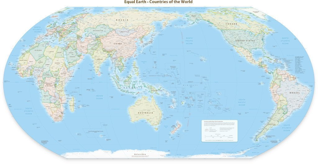
They already have an 150th meridian East maps designed. Here it is scaled down to 1024px wide:
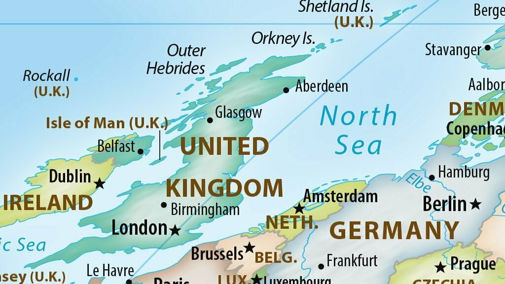
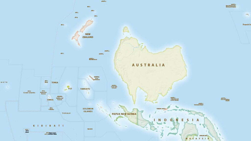
The full map is 25 MB. Here's a detail from the full size:
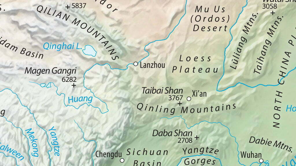
It's also available in this gorgeous topographical version:
That's a decent raster image. Thankfully, they provide a vector version. Although sadly (for me) it is in Adobe's proprietary .ai format. They're a couple of hundred MB and can be downloaded from the site.
I've never used Adobe Illustrator before - but I have access via my uni - so I've probably done this in a very inefficient way. But, with a bit of guidance I was able to rotate the map, and then individually rotate all the text labels.
Here's my first attempt:

Zooming in on a bit of detail:
Obviously it isn't quite right yet. Rotating text can shift it quite significantly, and some of the fiddly details need to be corrected. I'll be working on this when time allows - and I hope to sell physical prints soon.
Stay tuned!
I am incredibly grateful to the generosity of Tom Patterson for licencing the map under the following terms:
The Equal Earth Physical Map is in the public domain. You may use the map any way you like, including modifying the content, reproducing it on any type of media, and selling it for profit. Consider it as yours.
8 thoughts on “South Up, NZ Centric, Equal Earth Map”
Chris
Any chance you have this version of your map for sale yet? (A digital download of a higher resolution version?). I'd love to print a copy for my office!
@edent
Not yet. But stay tuned 🙂
@edent
Hi Chris, I've finally put the maps up in my shop https://www.redbubble.com/people/terenceeden/shop
Paul
Hello, I second that. I would love to have your map for sale in print or just downloadable form ! Your work on that and the result is awesome 🙂
@edent
Your wish is my command, Paul. You can buy the maps at https://www.redbubble.com/people/terenceeden/shop
Eric
And... another one interested in buying your map (poster purpose) ! Is it available please ?
@edent
Haha! OK, I'll see what I can do in the next few weeks.
@edent
Hi Eric, the posters are now available to buy at https://www.redbubble.com/people/terenceeden/shop
What links here from around this blog?