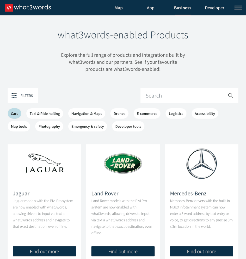
Long-time readers know that I am not a fan of What Three Words. I think it is a closed, proprietary, and user-unfriendly attempt to enclose the commons. I consider that it has some dangerous failure modes. A year ago, The Financial Times wrote about What3Words' business woes. But it looks like things are about to get a lot worse. As reported by a user on Reddit, Mercedes cars no longer support…
Continue reading →

Cartographers occasionally sneak deliberate mistakes into their maps. Known as trap streets they are a simple "copyright trap". If someone copies their map without permission, the fake street shows evidence of the source of plagiarism. Google do this sometimes. They once proclaimed that Argleton was a real place - despite its non-existence. While I was looking for something to do in London…
Continue reading →

Yup - I'm still banging on about this! This time, in R Result The colours are wrong, and the labels need adjustment - but not bad for a few lines of code! Code library(tidyverse) library(rnaturalearth) library(rnaturalearthdata) library(sf) centre <- 160 # NZ mostly centred, prevents Africa and South America wrapping. projection <- "eqearth" # Other good projections are wag1 wag7 eck4…
Continue reading →

(Yes, I'm back on my bullshit!) Regular readers may remember that I'm trying to create an "Organization of Cartographers for Social Equality" map. That is, a map with a Gall-Peters Projection and with South up. Oh, and Aoteroa centred. For reasons. I've got one step closer! I wasn't able to find and decent Peters projection map tiles, but I did find the next best thing. The "Equal Earth"…
Continue reading →

If you've seen that episode of The West Wing, you'll remember this scene: I'm not a paying member of the OCSE, but I fully support their aims. Because messing around with maps is fun. So, can I build a web-first maps which is South-up, Pacific-centred, and Peters-projected? Here's what I managed to do using OpenLayers - an Open Source web maps library which is pretty hackable. Get started …
Continue reading →

I'll be wording this post carefully as What 3 Words (W3W) have a tenacious PR team and, probably, have a lot more lawyers than I do. W3W is a closed product. It is a for-profit company masquerading as an open standard. And that annoys me. A brief primer. The world is a sphere. We can reference any point on the surface of Earth using two co-ordinates, Longitude and Latitude. Long/Lat are…
Continue reading →

Last year I complained about a dangerous change to Google's Maps app. When driving, you want to spend the majority of your time concentrating on the road ahead. Flicking one's eyes to the mirrors & speedometer should be enough to quickly assess one's environment. The same applies for SatNav apps - every second that is spend trying to figure out what the graphics means is a second where the…
Continue reading →

Update 2013-07-13 I've just received this email from Nate Tyler at Google. Hope you're enjoying the weekend. I work on the Google Maps team and just saw your post on Google Maps navigation. Thank you very much for the concern. Wanted to be sure you and your readers are aware that we have pushed an update to the latest release of Maps for Mobile to fix this issue. If there's any chance to update …
Continue reading →

There gets a stage in every large company's lifecycle when there are too many people working on a single project. This usually manifests itself in strange internal struggles over the heart of a product as different teams compete for their "vision" to succeed. What often happens is that the user is forgotten and a manager, somewhere, has to make a compromise which sacrifices usability for…
Continue reading →

English is a funny old language. That my mother tongue doesn't bother with internal consistency doesn't bother me much - except when it comes to Text-To-Speech. Using Google Maps to provide route guidance in the UK is a challenging affair. Driving through Reading, the computerised voice continually mispronounced is as "Reading". Err... that is to say, it should have said "ˈrɛdɪŋ" instead it sai…
Continue reading →

As part of my project to create a mobile polling station locator site, I've been playing with various mapping APIs. As a base experiment, I passed the postcode of a polling station (GU22 7DT) to both Google Maps and Yahoo Maps. Here are the results. - Two things of interest to note. Firstly, Google has a specific "Mobile" call in the API, it reformats the map image to be more readable on…
Continue reading →