There's no one dafter than the previous owner of your property. Over the years we've found dodgy wiring, horrificly bodged plaster, and things plumbed in backwards.
We've started re-doing our garden recently. The hideous decking was quickly rotting away and needed removing. But what would we find under there?
Google's StreetView for the web lets you take a short trip back in time - if you're lucky, you might catch a glimpse of what your garden looked like over the year.
 (That's a random house I found, not mine!)
But what about satellite images? Both Bing and Google provide an overhead view of your property. But they only show the most recent images.
There is a way to see previous satellite imagery though! Using the (appallingly named) Google Earth Pro Desktop app. It's available for Linux, Mac, and Windows. Hidden away at the top is a magic little icon:

Drag it around and you can go back in time - up to the 1940s in some cases.
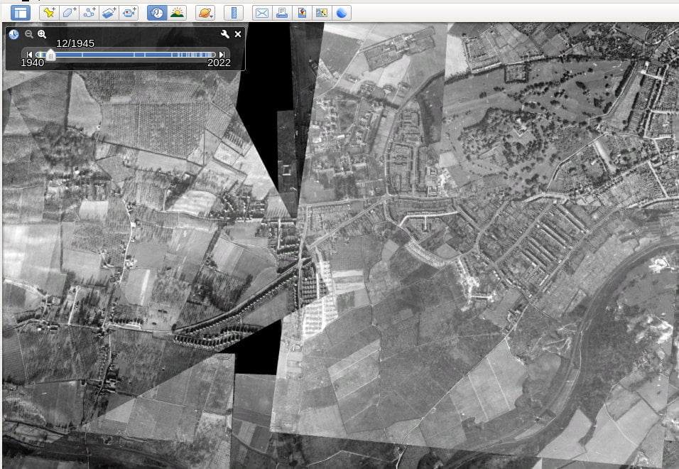
Now, the fidelity of the images isn't always brilliant but it's often enough to get a sense about what your area was like long ago.
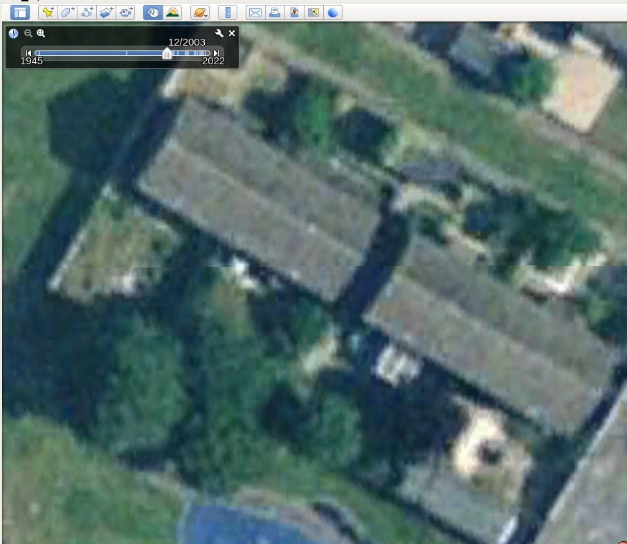
And that's how we found out that the decking was covering a rather fine ornamental pond!
So I've spend the last few weekends excavating it. And cursing the previous owners for filling it with their concrete rubble, sweet wrappers, and broken bricks!