Regular readers know, I'm Creating an "Organization of Cartographers for Social Equality" map. I've already had some success using an existing NZ Centric, Equal Earth Map. And I've programmatically created a correctly projected map with R.
But is it possible to do this with Satellite imagery? YES!
Install
gdal
For this to work, you'll need GDAL - the Geospatial Data Abstraction Library. They're a handy set of tools for getting and manipulating maps.
Get the data
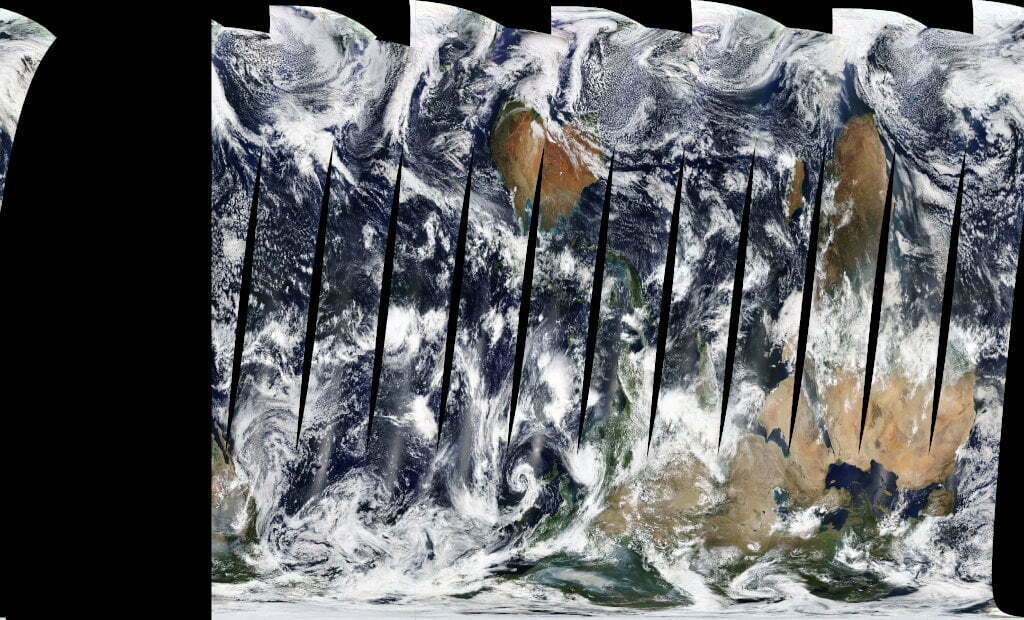
The Copernicus Sentinel-2 mission comprises a constellation of two polar-orbiting satellites placed in the same sun-synchronous orbit, phased at 180° to each other. It aims at monitoring variability in land surface condition
You can browse the maps on https://s2maps.eu/ and - best of all - the images are licenced under Creative Commons!
To download the data, run:
Bash
gdal_translate -of JPEG -outsize 1600 900 \ "WMS:https://tiles.maps.eox.at/?SERVICE=WMS&VERSION=1.1.1&REQUEST=GetMap&LAYERS=s2cloudless-2019&SRS=EPSG:4326&BBOX=-180.000000,-90.000000,180.000000,90.000000&FORMAT=image/jpeg&TILESIZE=256&OVERVIEWCOUNT=17&MINRESOLUTION=0.0000053644180298&TILED=true" \ 1600x900.jpeg
That downloads the map in EPSG:4326 projection, saves a JPG, and an XML file with metadata.
To see which different versions of the data are available, run:
gdalinfo "WMS:https://tiles.maps.eox.at/?SERVICE=WMS&"
See this StackOverflow answer for details.
Re-project the data
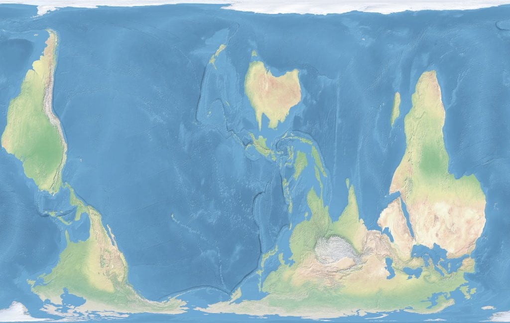
OK, we now have the data in WGS84 format. Let's squish it around into a different projection. In this case, Equal Area Cylindrical (cea), centred roughtly on New Zealand, and South side up:
gdalwarp -s_srs EPSG:4326 \ -t_srs "+proj=cea +lon_0=146 +x_0=0 +y_0=0 +lat_ts=45 +ellps=WGS84 +datum=WGS84 +units=m +no_defs +axis=wsu" \ -r near \ -of PNG \ 1600x900.jpg out.png
Result
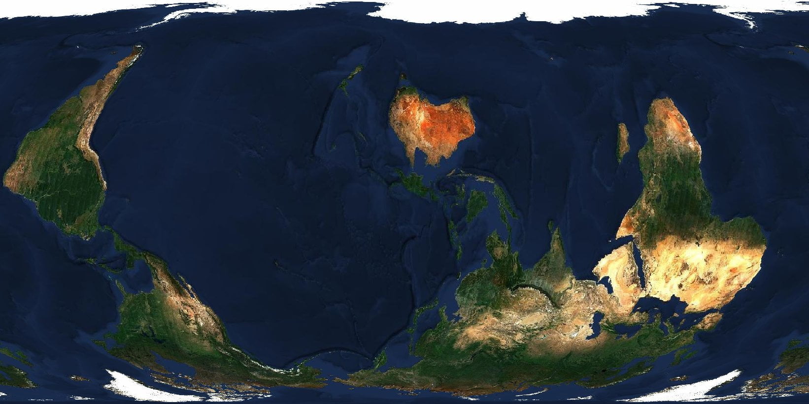 Click to embiggen.
🄯 CC BY-NC-SA "Sentinel-2 cloudless - https://s2maps.eu by EOX IT Services GmbH (Contains modified Copernicus Sentinel data 2020)"
Other Sources
There are a few other sources you can use.
Natural Earth provides great imagery.
NASA's World View gives realtime-ish satelite images.